Quick FactsOverview
About the Springs
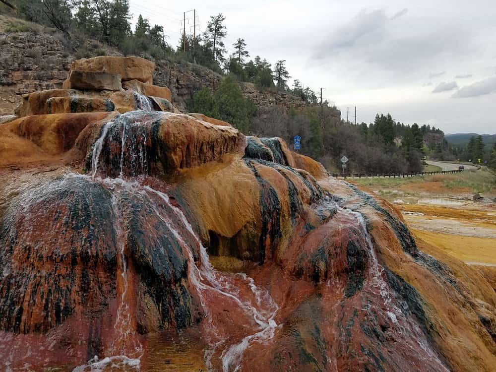
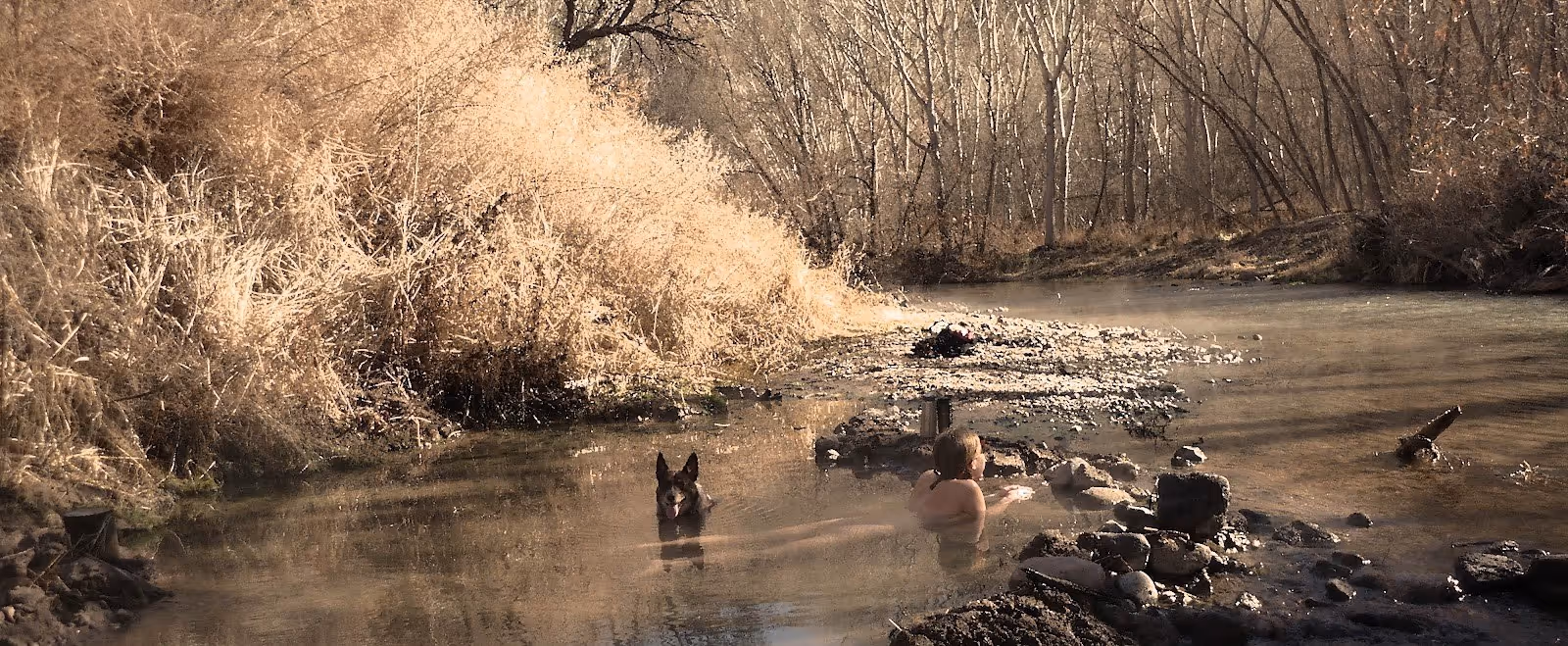
San Francisco Hot Springs, New Mexico is a free, undeveloped geothermal spring in the Gila National Forest, Catron County, southwestern New Mexico, approximately 7 miles south of Glenwood along the San Francisco River. Three groups of springs spread across a quarter mile of the river floodplain: the Upper Group is on private property and must not be accessed; the Middle Group, sometimes called the Bubbles, sits against a cliff on the west bank; and the Lower Group is approximately 450 feet south of the Middle Group. Both the Middle and Lower Groups are on Gila National Forest land and are reached via Trail 250. Pool temperatures range from 100 to 120 degrees Fahrenheit depending on river level. The sandy-bottomed pools are fed directly by geothermal sources along the Sundial Mountain Fault.
The trail descends a canyon to the San Francisco River, where a crossing is required to reach the pools. The trailhead has a restroom and information bulletin board, making it one of the better-equipped primitive hot spring trailheads in the Gila National Forest.
For visitors looking for hot springs near Silver City New Mexico, this is one of the most accessible free geothermal springs in the Gila, requiring only a 1.25-mile trail from a paved highway pullout.
Location & Access
Getting There
The trailhead is accessed from US-180 approximately 7 miles south of Glenwood, between highway mile markers 58 and 59. Turn west onto Catron County Road C-025, a half-mile county-maintained gravel road, and drive to the trailhead at its end. Ample parking is available. GPS coordinates for the trailhead are 33.228378, -108.867165, confirmed by the US Forest Service. From Silver City, drive northwest on US-180 for approximately 60 miles; total drive time is about one hour. Nearest services (food, fuel) are in Glenwood, approximately 8 miles north.
Trail 250 begins at the trailhead and runs 1.25 miles downhill through a drainage to the San Francisco River. The trail is moderately difficult with switchbacks and rocky terrain. At the river, a crossing is required to reach the Middle and Lower Group springs on the west bank. River depth varies from ankle to waist or higher depending on season and rainfall; spring snowmelt typically produces the highest and most dangerous flows. Check conditions with the Gila National Forest Wilderness Ranger District at (575) 539-2481 before visiting in spring or after rain.
For visitors exploring hot springs near Silver City New Mexico, the Gila area offers multiple free primitive springs within a day trip, and the Catwalk National Scenic Trail near Glenwood is a worthwhile stop en route.
Suitability & Accessibility
Who Should Visit
The springs suit hikers of moderate fitness comfortable with a river crossing and a short canyon trail. The 1.25-mile trail is the shortest approach to any free Gila National Forest hot spring with a developed trailhead and parking. The setting in a remote desert canyon along the San Francisco River is dramatically different from the forested Jemez springs, and the combination of sandy pools, canyon walls, and river sounds makes it one of the more distinctive free soaking experiences in southwestern New Mexico.
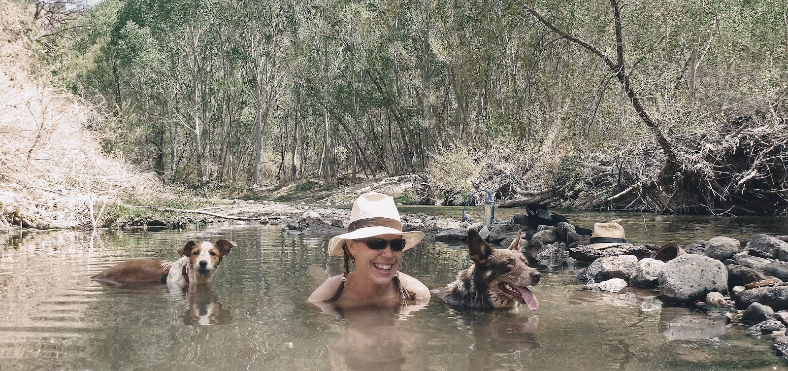
Clothing is optional at the springs. Dogs are allowed on the trail; leash requirements at the trailhead are strictly posted. There is no minimum age restriction, though the river crossing and variable water depth require adult judgment about suitability for children. Camping is permitted at the trailhead overnight but not directly at the springs. The Upper Group of springs is on private property; do not cross the boundary to access Sundial Springs.
For those seeking free hot springs New Mexico has to offer in the Gila region, this is the most accessible option with a short trail and a trailhead restroom. River water is untreated; do not drink from the river or pool water without filtering or chemical treatment. Fire restrictions in the Gila National Forest change seasonally; check current status before your visit.
Safety & Etiquette
San Francisco Hot Springs Safety Tips
The river crossing is the most significant and variable hazard. The San Francisco River must be crossed to reach the Middle and Lower Groups; depth ranges from ankle-deep in dry conditions to waist-deep or more during spring snowmelt and after heavy rain. Fast-moving high water can knock hikers off their feet and sweep them downstream. Always check current river levels before your visit. Do not attempt the crossing if water is turbid or flowing fast; return to the trailhead and postpone. Use a trekking pole for balance and unbuckle your pack hip belt before entering water so you can shed it quickly if you fall. Never attempt a river crossing alone.
Pool temperatures range from 100 to 120 degrees Fahrenheit. Always test the water before entering and be especially cautious with the hotter pools near the source. The temperature varies with river level; higher water can dilute pools, while lower flows can make them hotter. Do not drink or use untreated water from the springs or the river. The Forest Service recommends treating or filtering all native water before consumption.
The Upper Group is on private property; trespassing carries legal consequences and the Forest Service posts boundary signs at the trailhead and along the trail. Stage 1 fire restrictions were in effect as of spring 2026 per the Gila National Forest; check current restrictions before your visit. No cell service is available in the canyon. Pack out all waste and follow Leave No Trace principles. Contact the Wilderness Ranger District at (575) 539-2481 for current trail and river conditions.