
Quick FactsOverview
About Secesh Hot Springs
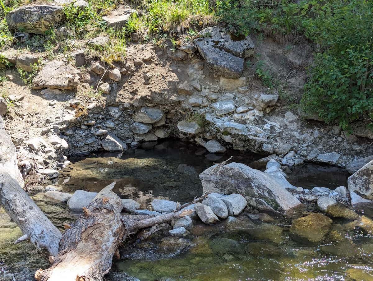
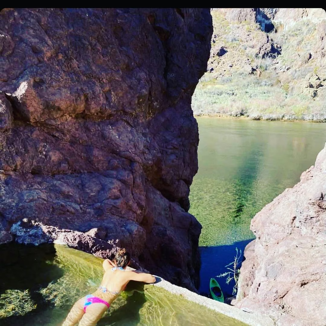
Secesh Hot Springs, also known as Delta Mist or Whangdoodle Hot Springs, Idaho is a backcountry geothermal spring along the Secesh River in the Payette National Forest in Valley County, near the mountain resort town of McCall. Multiple soaking pools are fed by geothermal water emerging on the river bank, with temperatures varying by pool and season. The springs are reached by a 10.9-mile out-and-back hike with 971 feet of elevation gain, rated as moderate in difficulty. McCall, a popular four-season recreation destination on Payette Lake, is the nearest town with full services.
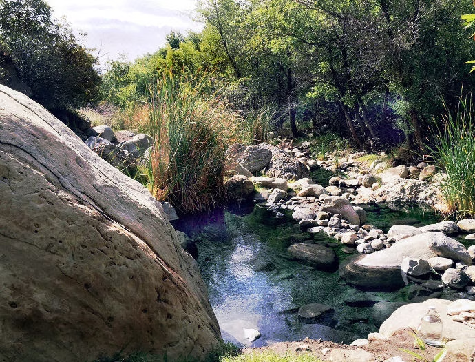
The Secesh River is a 27-mile tributary of the South Fork Salmon River, flowing through remote wilderness in the Salmon River Mountains. The trail follows the river through stands of lodgepole pine, sagebrush meadows, and flowering alpine clearings with views of the surrounding peaks. The springs are among several natural hot springs in Idaho accessible from the McCall area, in a region rich with geothermal features fed by the same volcanic systems that created the Idaho Batholith.
The pools are visitor-maintained and conditions vary with season, river levels, and use. No facilities exist at the springs.
Location & Access
Getting to Secesh Hot Springs
Secesh Hot Springs is reached by a 10.9-mile out-and-back hike from a trailhead off Forest Road access in the Payette National Forest, south of McCall. The trail follows the Secesh River through forested canyon terrain with approximately 971 feet of elevation gain. The hike takes 4 to 5 hours to complete and is rated as moderate in difficulty.
From McCall, drive south on the Warren Wagon Road or Lick Creek Road to access the trailhead area. Forest roads in this area are unpaved and rough. A high-clearance vehicle is recommended. The road is typically closed by snow from late fall through early summer, with trail access available from approximately July through October depending on conditions.
Trail Notes
The trail has a high route and a low route that split approximately two miles from the trailhead. The low trail follows the river closely with three to four creek crossings, offering shade and water access but requiring water shoes. The high trail stays above the river with more elevation gain but no crossings. For visitors seeking hot springs near McCall, Secesh is the most remote backcountry option. Gold Fork Hot Springs (a developed commercial pool near Donnelly) and Burgdorf Hot Springs (a primitive Forest Service pool near Warren) are more accessible alternatives in the McCall region.
Suitability & Accessibility
Who Should Visit Secesh Hot Springs
Secesh Hot Springs suits experienced hikers seeking a remote, uncrowded backcountry hot spring in the central Idaho mountains. The 10.9-mile round trip with 971 feet of gain is a full-day effort that rewards with a quiet, scenic soak along the Secesh River. The moderate difficulty makes it accessible to reasonably fit hikers, though the distance and remote location require preparation and navigation skills.
The trail is popular with birders, hikers, and trail runners from summer through fall. Dogs are welcome and may be off-leash in some areas. The river crossings on the low trail can be challenging during high water in early summer. Late summer and fall offer the most reliable trail conditions and comfortable soaking, when river levels are lower and wildflowers line the meadows.
Accessibility at Secesh Hot Springs
The springs are not wheelchair accessible. The 10.9-mile backcountry trail is suitable only for fit hikers prepared for a full-day trip. No facilities exist at the springs. Those exploring natural hot springs Idaho offers near McCall who prefer easier access should visit Burgdorf Hot Springs (a short drive on forest roads from Warren) or Gold Fork Hot Springs (developed pool near Donnelly, no hiking required at all, and both are open to day visitors).
Safety & Etiquette
Secesh Hot Springs Safety Tips
Secesh Hot Springs is in remote backcountry in the Payette National Forest, and visitors should be fully prepared for a challenging day hike. Always test water temperature before entering any pool, as conditions vary by season. Bring adequate water, food, sun protection, and navigation tools for the 10.9-mile round trip.
The low trail requires three to four river crossings where water can be swift and cold during high runoff. Wear appropriate water shoes and use trekking poles for stability. The high trail avoids crossings but has more sun exposure and steeper terrain. Downed trees can obstruct the trail, particularly after storms.
Wildlife and Environmental Awareness
Black bears are active in the Payette National Forest. Make noise on the trail and store food properly. The remote river corridor is home to moose, elk, and mountain lions. Ticks and mosquitoes can be intense in early summer, especially near water and meadows. Bring insect repellent and check for ticks after your hike.
Leave No Trace
Pack out all trash and waste. Do not alter the pools or surrounding riparian area. The Secesh River supports salmon and steelhead habitat. Follow all Payette National Forest regulations. Cell service is not available on the trail. Inform someone of your plans before departing. The nearest medical facilities are in McCall, a significant drive from the trailhead on rough forest roads. Carry a first aid kit and consider a satellite communication device for emergencies in this remote part of the Payette National Forest.